The state’s drone restrictions aren’t about privacy. They’re an intentional information blockade designed to hide environmental devastation and contractor waste behind an insurmountable paywall.
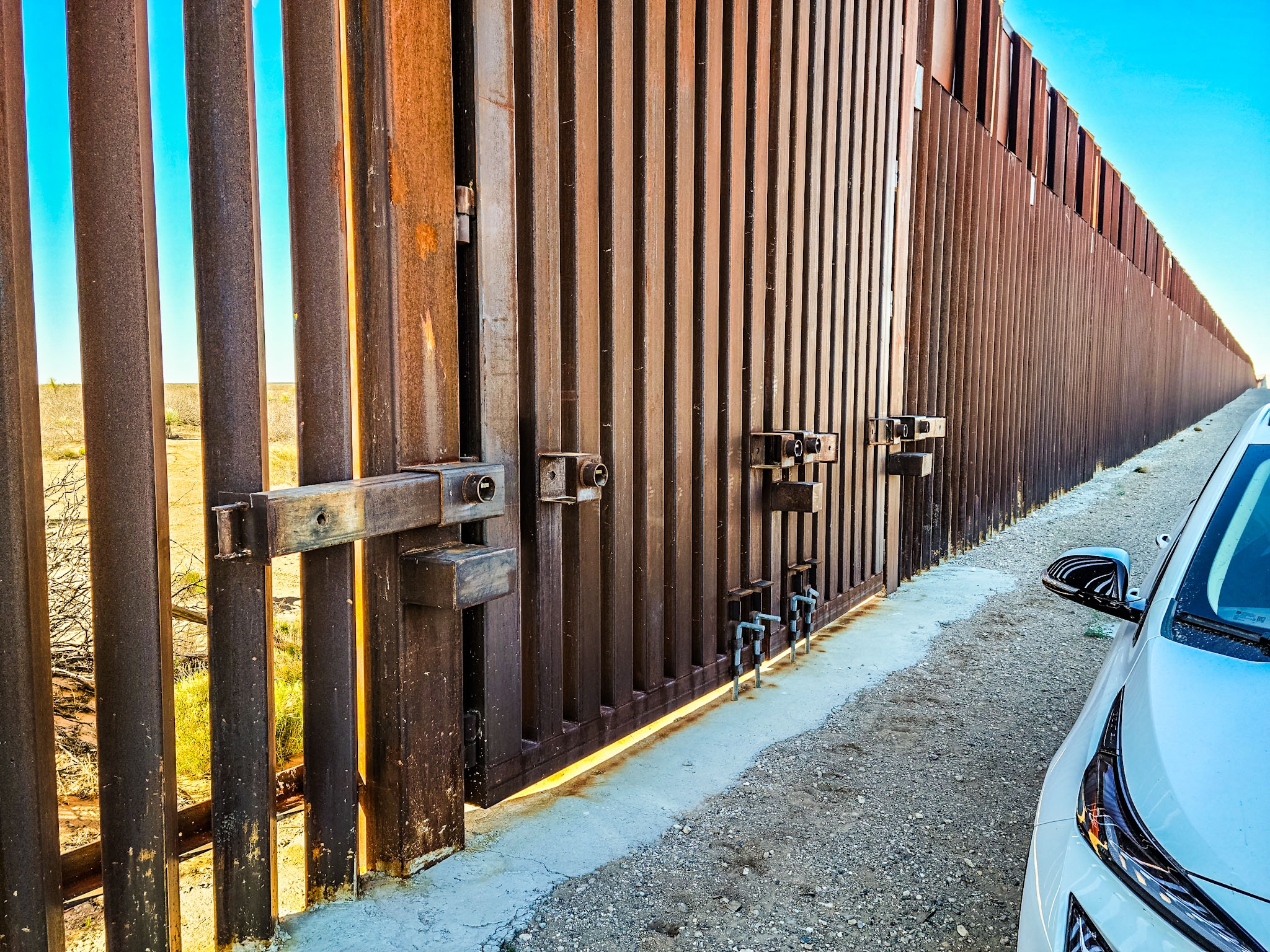
Right now, bulldozers from a massive government contractor are ripping through the dirt of Big Bend National Park. They’re tearing up ancient desert soil and gouging roads through fragile Chihuahuan Desert habitat for a $1.7 billion border barrier of some kind.
Hearing about this, I was thinking of running down from New Mexico to cover this. With my quadcopter and FAA license, I could give the country a better view of what’s happening. From the highway at ground level, the public only sees a distant line of fence or some scattered trucks. If you get closer, you might see a bulldozer or excavator tearing up a relatively small area.
But, the hidden footprint has to be enormous. The destruction isn’t just the steel bollards or whatever they’re going to use for a vehicle barrier (assuming that’s not yet another lie). It’s the sprawling industrial staging areas, the contractor man camps, gravel extraction pits, and heavy equipment yards chewing up the wilderness.
But, as I talked with Big Bend journalists on the ground to see where the worst was happening, I learned that informing the public wouldn’t be so easy. It turns out that the State of Texas knew this was coming, and worked with their Federalist Society and Heritage Foundation judges to prevent conservative crimes from coming into full public view.
The Legislative Gag: Texas Chapter 423
Good luck flying a drone to show the public what that destruction actually looks like. Under Texas Government Code Chapter 423, the state put up a big wall around nearly all private property. Use a drone to look at anything on private land, and you’re consider to be conducting “surveillance”. The statute carves out over 20 explicit exemptions for commercial interests. If you’re an oil and gas company inspecting a pipeline, a real estate broker shooting a marketing video, or a government contractor flying a drone to shoot promotional marketing reels of your job site, you’re completely protected.
But if you’re an independent reporter or a whistleblower flying the exact same path to document environmental destruction, the state considers it a crime. You face Class B criminal misdemeanor charges and civil lawsuits that can hit $10,000 per violation.
As you would expect, journalists sued. But, the federal courts backed Texas up. The Fifth Circuit Court of Appeals (a court so packed with wacky conservative justices that conservative organizations carefully plan lawsuits to land there) created a legal fiction in NPPA v. McCraw, classifying the use of a drone’s camera sensor as “non-expressive conduct” to keep the First Amendment from applying as it should.
Pricing Out Everyone But The Oligarchy
This creates an artificial financial moat. By banning a $1,000 consumer drone while leaving a $500-an-hour airplane perfectly legal, Texas effectively prices out independent journalists, freelancers, and grassroots watchdogs. In other states, the cost of holding the powerful accountable is low, but in Texas, only deep pockets get to share the view from anywhere more than six feet off the ground.
The only newsrooms with the budget to charter aircraft and fight state lawsuits are massive corporate legacy outlets. And these days, those outlets are increasingly owned by billionaires, defense contractors, and private equity firms that align with MAGA priorities.
Media conglomerates tied to state subsidies, energy portfolios, and government contracts have zero incentive to fund adversarial aerial investigations into state-backed contractors. The illusion of a public trial falls apart. When the only people who can afford aerial tools are aligned with the state apparatus, the public is forced to rely on the powerful to expose themselves. The result is sanitized pool b-roll and pre-packaged government press releases instead of real scrutiny.
Why The State Fears The Affordable Aerial View
Why go through all this trouble to keep drones out of the sky? Because scale is the smoking gun.
Ground-level photos make an industrial disaster look like a routine fence project. An aerial panorama exposes a jagged, multi-mile scar cutting across an entire ecosystem. Public outrage doesn’t come from dry contract audits or line-item budget spreadsheets. It comes from high-resolution visual proof of destroyed public lands and sprawling contractor camps.
Worse, you can’t check to see whether contractors are ripping the government off from the ground. As we learned from the Reflecting Pool fiasco in Washington, Trump is in the habit of picking his favorite donors and supporters for cushy government jobs and then refusing to hold them accountable when they get things entirely wrong. Without being able to actually monitor the jobsite regularly, journalists can’t tell you whether the construction project is legitimately building a vehicle barrier or building a cheap alternative that effectively gifts the contractor with public money that they didn’t earn.
In many cases, crimes against nature or taxpayer ripoffs occur behind a fence or far enough from the road that nobody can see what’s really happening. The contractors aren’t going to blow the whistle. People getting paid big bucks on government construction projects aren’t going to shut their own jobs down. Without aerial monitoring that independent journalists can afford, nobody can hold MAGA or its oligarchs accountable to the public.
Texas Hides More Than Border Construction
Big Bend National park is just the latest casualty of state-enforced blind spots.
This same law protects petrochemical plants, toxic dumping sites, and refinery emissions along the Gulf Coast behind private security gates. Factory farms, manure lagoons, and agricultural runoff remain shielded from public view. Billions in public tax money flow to politically connected private contractors with zero visual oversight or independent progress audits. The border is just the most visible symptom of a much larger disease.
How big of a problem is this? We honestly don’t know because that’s the point of this terrible law. If you go look, you get charged with a crime or sued. Even if you somehow beat that, drone images are still not admissible as evidence against criminal enterprises in the state.
A Tale of Two State Lines
The contrast is jarring if you drive a few hours to the west. Across the state line in New Mexico, public-interest aerial reporting is completely legal under standard FAA Part 107 rules. I can launch a drone, document what’s happening to public lands, and publish the reality of border construction without the state threatening to throw me in county jail or some shady contractor being able to sue me for the mere act of taking a picture of what they’re doing.
The absurdity of the workarounds on the Texas side proves the point. Having to rely on high-power telephoto lenses from distant ridges, expensive mast or tower systems, or costly charter pilots just to view public projects shows exactly how far Texas has gone to kill transparency compared to a neighboring state.
Texas claims that this is all about protecting privacy, but in reality, it’s all about covering wealthy donors’ tracks.
Share this:

Discover more from Charge To The Parks
Subscribe to get the latest posts sent to your email.